OrthoCarolina Resources
Dive deeper into understanding orthopedic conditions, treatments, recovery expectation, general musculoskeletal health, and patient stories.


Patient Stories


Follow Lauren Watts, a former Division 1 soccer player, as she overcomes multiple knee surgeries with the dedicated care of Dr. Piasceki and Margaret Lynch at OrthoCarolina. Discover her journey of resilience, recovery, and finding new purpose beyond injury.
Read More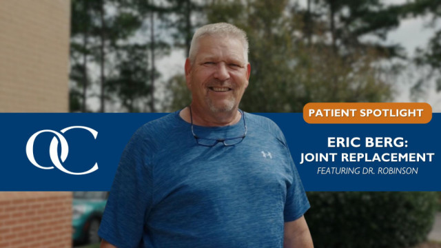
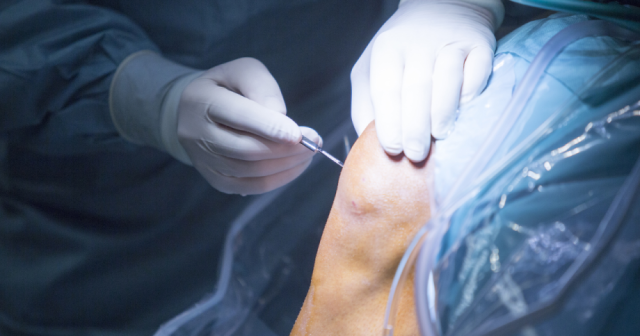
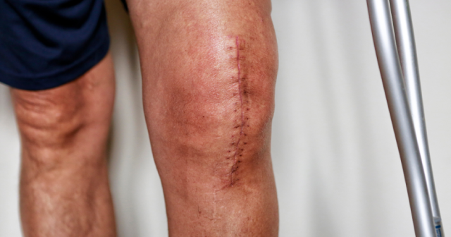
Follow Eric Berg's journey from a severe knee injury to a successful total joint replacement with Dr. Matthew G. Robinson at Matthews Surgery Center. Learn how he overcame health challenges to regain mobility and return to his normal life.
Read More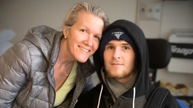
Discover JJ Hodge’s inspiring journey of recovery after a spinal cord injury, with specialized care from OrthoCarolina’s Brachial Plexus Clinic helping him regain strength and independence.
Read MoreThe OrthoCarolina Advantage

Discover a smarter, more accessible approach to orthopedic care through the North Carolina State Health Plan’s partnership with Lantern. Eligible members benefit from guided, end-to-end surgical care, access to top-tier orthopedic specialists—including OrthoCarolina—and no out-of-pocket costs for many procedures. This innovative model simplifies the patient journey, improves outcomes, and removes financial barriers, making high-quality musculoskeletal care easier and more predictable than ever.
Read More